

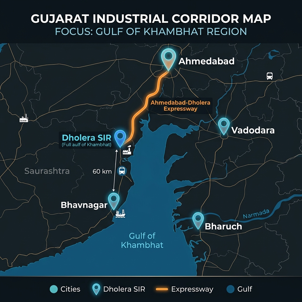
> Dholera is located in the Ahmedabad district of Gujarat, approximately 100 kilometers south of Ahmedabad city. Positioned along the Gulf of Khambhat, the region’s geographical coordinates are 22.25° N latitude and 72.19° E longitude, placing it at the center of the DMIC transit corridor.
Transit Corridors & Distance Matrix
Dholera’s accessibility is structured through major road, rail, and air links currently under active construction.
- Ahmedabad-Dholera Expressway: A 109-kilometer, 4-lane expressway designed to reduce transit times between Ahmedabad and Dholera to under 60 minutes.
- Dholera International Airport (Navagam): Located in the northern part of the SIR, designed as a cargo hub and passenger terminal to handle overflow traffic from Ahmedabad.
- Broad-gauge Cargo Rail: Connects the Dholera Activation Area directly to the Western Dedicated Freight Corridor (DFC).
| Key Transit Node | Distance from Dholera SIR Core | Primary Mode | Connectivity Infrastructure |
|---|---|---|---|
| Ahmedabad City | ~100 Kilometers | Road / Expressway | National Highway 8 (NH-8) Link |
| Bhavnagar Port | ~60 Kilometers | Road / Highway | State Highway 6 (SH-6) Corridor |
| Navagam Airport | ~15 Kilometers | Air / Road | Dholera Airport Access Road |
Master Plan Boundary & Layout Audits
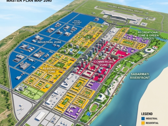
The location of Dholera SIR is divided into Town Planning (TP) schemes to structure development systematically:
- Zoning Structure: TP 1 and TP 2 form the immediate urban core, while TP 3 and TP 4 flank the airport and heavy industrial sub-zones.
- Land Reconstitution Model: Land pooling reconstitutes original plots (OP) into regularized Final Plots (FP) with complete road access.
- Zoning Verification: Purely plotting layouts do not require compulsory RERA registration. Verify layout sanctions from DSIRDA and title clear reports. Browse our verified listings in Mahadevpura-HAC (ID 2719) and Navagam-Airport (ID 2703).

Frequently Asked Questions (FAQ)
Is Dholera a separate district in Gujarat?
No, Dholera is a taluka within the Ahmedabad district of Gujarat, governed locally by the Ahmedabad district administration and planning-wise by DSIRDA.
What are the coordinates of the Dholera Activation Area?
The Activation Area is located in the northern half of the SIR, centered near the ABCD administrative building at approximately 22.25° N latitude and 72.19° E longitude.
How close is the nearest sea port to Dholera?
Bhavnagar Port is the closest operational port (~60 km south), while Pipavav Port (~200 km) and Kandla/Mundra Ports in Kutch offer major maritime links.
Disclaimer: Boundary maps, coordinates, and transit corridor details are subject to updates by DSIRDA and DICDL. Investors must conduct personal due diligence prior to buying.
Download Dholera SIR 2026 Investor’s Kit
Get instant access to the official planning documents: Dholera Investment Handbook (PDF), 2026 Land Price List, TP Zone & Village Map, and the NRI Buying Guide.

Join The Discussion