
How the Land Pooling Model Works: Step-by-Step
The Land Pooling Model is designed to create a cooperative development path for farmers, investors, and the government:
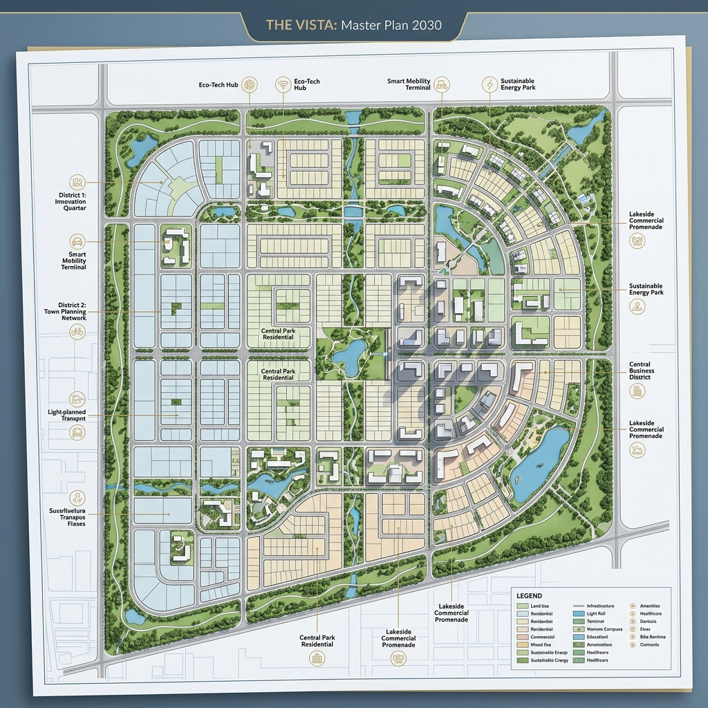
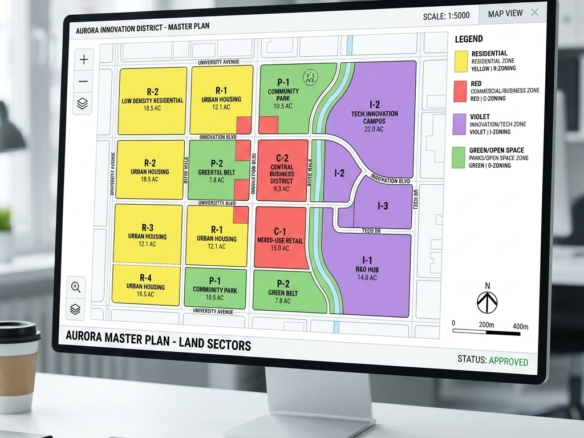
- Drafting the TP Scheme: The government declares a Town Planning (TP) scheme over a large parcel of agricultural land (typically 10 to 15 square kilometers).
- Land Contribution: Landowners contribute their irregular agricultural parcels to a common pool.
- Infrastructure Development: The government uses up to 40% of the pooled land to construct public roads, water treatment plants, green parks, and utility ducts.
- Reconstitution of Final Plots (FPs): The remaining 60% of the land is reconstituted into regular, rectangular plots (Final Plots) and returned to the owners.
- Value Multiplier: Although the physical size of the land returned is smaller, the value of the Final Plot is significantly higher because it is now zone-approved, NA-converted, and connected to smart utilities.
This cooperative model avoids the legal delays and social friction common in traditional land acquisition, ensuring rapid city development.
Reconstituted Plots vs. Traditional Plots
The table below outlines the differences between purchasing a reconstituted Final Plot under Dholera’s land pooling model and buying raw agricultural land under traditional systems:
| Feature / Parameter | Reconstituted Final Plot (Dholera SIR) | Traditional Agricultural Land (Standard India) |
|---|---|---|
| Legal Title Security | Guaranteed by DSIRDA and revenue department records | Subject to family disputes, boundary overlaps |
| Deduction Risk | 0% deduction. All road and public deductions are completed | Up to 40% of land can be deducted for roads later |
| NA NOC Status | Pre-approved Non-Agricultural status | Requires complex, lengthy approvals |
| Access & Utilities | Built-in access roads (minimum 12m), utility ducts | No guaranteed road access or electricity links |
| FSI Allocation | Pre-defined FSI based on master plan zoning | Subject to changing local municipal approvals |
What Investors Must Verify: Final Plot Checklist
When investing in a Final Plot in Dholera SIR, ensure you verify the following legal documents:
- F-Form (Final Form): The official document issued by the Town Planning officer showing the original agricultural survey number (Original Plot – OP) and the newly allocated Final Plot (FP) number with coordinates.
- Part Plan Map: The official map showing the exact physical location, boundary dimensions, and road access of your Final Plot.
- DSIRDA NOC & NA Order: The formal approvals showing the land has been legally cleared for non-agricultural development.
Frequently Asked Questions
1. Why is the size of my Final Plot smaller than the original agricultural land?
Under the Land Pooling Model, a percentage of the land (typically 40%) is reserved for common infrastructure like wide roads, parks, sewage plants, and utility lines. However, because the remaining plot is fully developed and serviced, its market value per square yard is significantly higher than the original raw land.
2. What is an F-Form in Dholera SIR?
The F-Form is the legal document that links your original agricultural land survey number to your new reconstituted Final Plot number. It lists the owner’s name, the original area, the deducted area, and the final boundary measurements of the allocated plot.
3. Can I build on my Final Plot immediately after purchasing?
Yes. Since Final Plots are pre-cleared for Non-Agricultural (NA) use, you only need to submit your specific building blueprints to DSIRDA for plan approval. You do not need to apply for separate land-use conversion approvals.
Disclaimer: This article is published by the editorial team at Dholera Acres for informational purposes only. It does not constitute formal financial, legal, or investment advice. While every effort has been made to verify the town planning regulations, FSI rules, and infrastructure timelines with official DSIRDA and DICDL publications, land investments are subject to market risks. Readers are strongly advised to perform independent legal due diligence and consult certified property advisors before making any transaction in Dholera SIR.
Download Dholera SIR 2026 Investor’s Kit
Get instant access to the official planning documents: Dholera Investment Handbook (PDF), 2026 Land Price List, TP Zone & Village Map, and the NRI Buying Guide.


Join The Discussion