

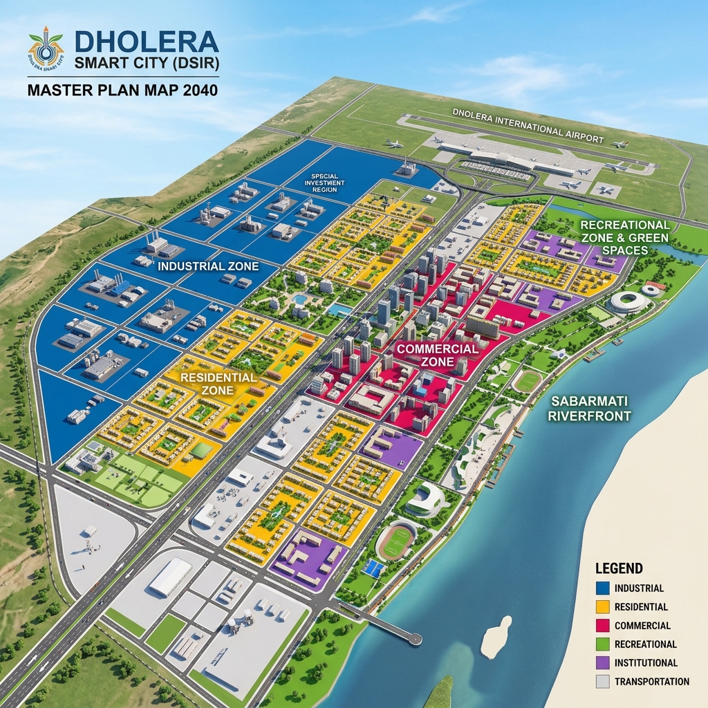
Dholera SIR Area & Zoning Breakdown
To help investors understand the physical layout and zoning of the Dholera Smart City area, here is the detailed breakdown of the Town Planning (TP) schemes:
| TP Scheme | Covered Area (Sq. Km) | Covered Area (Acres) | Primary Land Use / Zoning Focus | Development Status (2026) |
|---|---|---|---|---|
| **Activation Area (Core)** | 22.54 | 5,570 | High-Tech Industrial / Smart Utilities | 100% Complete & Operational |
| **TP Scheme 1 (TP1)** | 51.90 | 12,825 | Residential Core & Civic Amenities | Fully Built & Ready |
| **TP Scheme 2 (TP2)** | 102.34 | 25,288 | High Access Corridor (HAC) & Factories | Under Construction |
| **TP Scheme 3 (TP3)** | 66.60 | 16,457 | International Airport & Logistics | Infrastructure Phase |
| **TP Scheme 4 (TP4)** | 60.20 | 14,875 | High-Density Residential & Transit | Infrastructure Phase |
| **TP Scheme 5 (TP5)** | 74.75 | 18,471 | Agricultural & Eco-Tourism Buffers | Planning Phase |
| **TP Scheme 6 (TP6)** | 62.10 | 15,345 | Light Industrial / Solar Grid Parks | Planning Phase |
Key Zoning Sectors inside the Developable Area
The 422 sq. km planned developable area is divided under a strict, non-speculative land-use model: 1. Industrial Zone (35% of Planned Developable Area): Dedicated to high-density cleanroom manufacturing, aerospace plants, data center parks, and EV battery hubs. 2. Residential Zone (26% of Planned Developable Area): Designed to support the incoming workforce with modern townships, co-living zones, and high-density apartments. 3. Green & Recreational Buffers (12% of Planned Developable Area): Buffer belts running along arterial roads and the Sabarmati Riverfront to ensure sustainable, eco-friendly urban development. 4. HAC & Commercial Zone (10% of Planned Developable Area): High-density vertical corridors along major 55-meter and 70-meter roads, allowing high FSI (up to 5.0) for commercial high-rises.
Factual Growth Metrics for Area Land Buyers
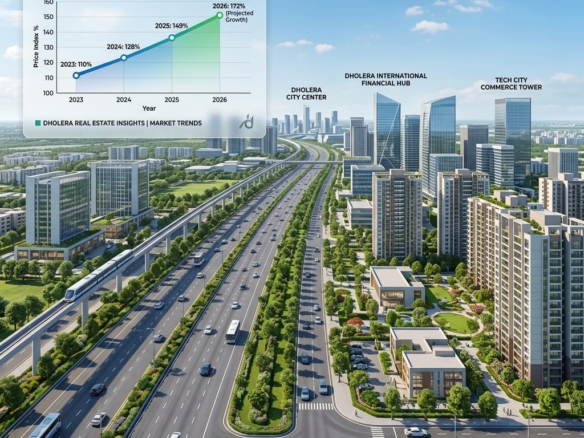
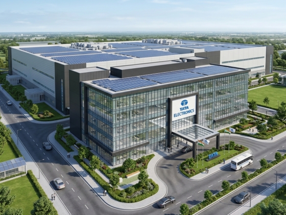
The structured layout of the Dholera Smart City area ensures that plotted land values appreciate steadily: * Appreciation Stability: Plots in the core Activation Area and adjacent TP1 / TP2 corridors exhibit a solid 10% to 15% annual growth (and up to 12% to 18% p.a. for premium HAC land). * Acreage Safety: Because all schemes undergo formal reconstitution (converting OP to FP), buyers are protected against traditional rural land encroachment. * Strategic Proximity: Purchasing plots within 3 to 5 kilometers of the Tata Semiconductor Fab or the Dholera cargo runway ensures high long-term rental demand.
Frequently Asked Questions (FAQ)
#### What is the total area of Dholera Smart City?
The total area of the Dholera Special Investment Region (DSIR) is 920 square kilometers (approx. 2,27,330 acres). This makes it larger than Munich, Shenzhen, or Singapore.
#### What is the Dholera Activation Area size?
The Dholera Activation Area size is 22.54 square kilometers (approx. 5,570 acres). It represents the core smart zone containing completed roads, electricity sub-stations, water recycling plants, and broadband networks.
#### How does Dholera’s land pooling model protect buyers?
The land pooling model pools agricultural land, builds trunk infrastructure (roads, grids), and returns reconstituted Final Plots (FPs) to the owners. This process guarantees 100% legal title clearance and direct access to municipal utilities.
Download Dholera SIR 2026 Investor’s Kit
Get instant access to the official planning documents: Dholera Investment Handbook (PDF), 2026 Land Price List, TP Zone & Village Map, and the NRI Buying Guide.

Join The Discussion