

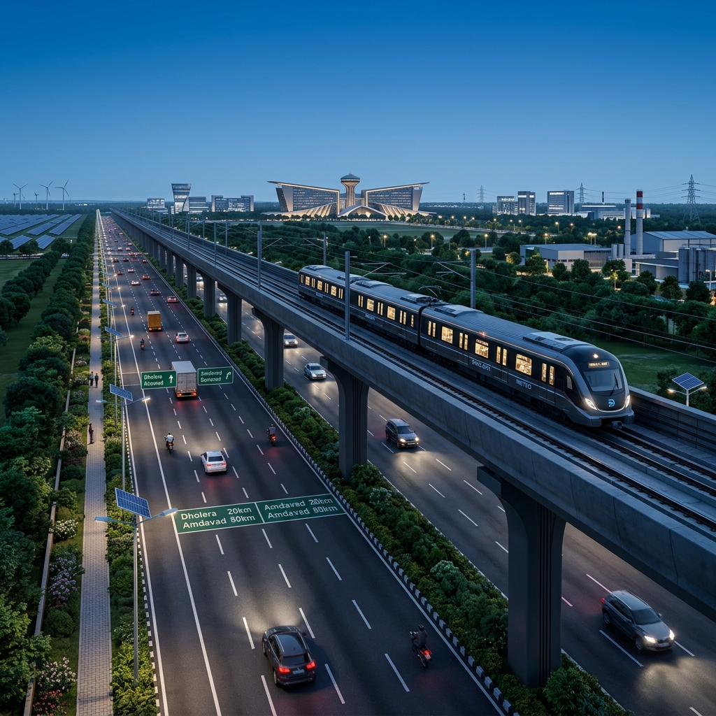
Rapid transit is the backbone of the Dholera Special Investment Region (SIR) connectivity master plan. To facilitate the daily movement of thousands of workers and executives between Ahmedabad and Dholera, the Gujarat Metro Rail Corporation (GMRC) is implementing the Ahmedabad-Dholera MRTS.
This guide provides the official station list, route specifications, and zoning regulations of the Ahmedabad to Dholera metro route, compiled by Dholera Acres.
1. Ahmedabad-Dholera MRTS: Project Overview & Specs
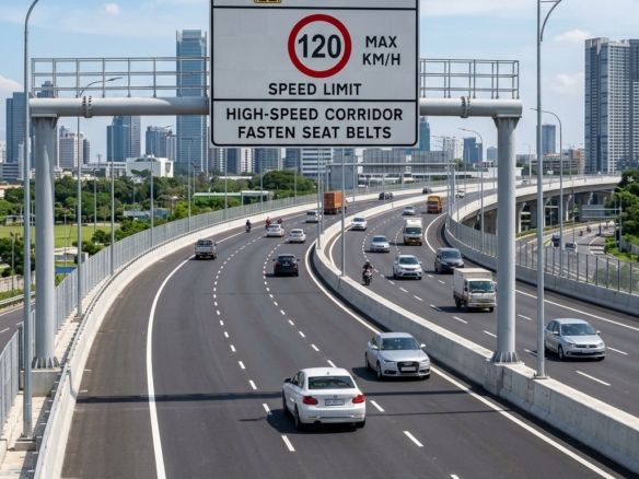
The Ahmedabad-Dholera Metro is a broad-gauge high-speed railway corridor designed to operate at speeds of up to 120 km/h, reducing the travel time between Ahmedabad and Dholera to under 50 minutes.
Key Route Specifications:
- Total Route Length: 92 Kilometers
- Track Alignment: Parallel to the Ahmedabad-Dholera Expressway (right of way corridor).
- Type: Primarily elevated with designated ground-level station hubs.
- Phase 1 Completion: Segment connecting Dholera International Airport to TP1 & TP2 (Activation Area) is prioritized for test runs in late 2026.
2. Ahmedabad to Dholera Metro Route Station List
The metro route consists of planned station hubs serving key cities, manufacturing zones, and logistics centers along the expressway.
Below is the official 2026 list of planned metro stations:
| Station Name | Scheme / TP Zone | Transit Role / Primary Coverage | Progress Status (2026) |
|---|---|---|---|
| **APMC Vasna** | Ahmedabad | Metro Interchange (connecting to Ahmedabad Metro Line 1) | Land Acquisition Complete |
| **Sarkhej** | Ahmedabad Outer | Suburban Transit Hub & Expressway Entry Point | Pillar Construction Active |
| **Sanand Junction** | Sanand Industrial | Connecting the Sanand GIDC industrial block | Pillar Construction Active |
| **Bhimnath** | Dholera Border | Railway Interchange (connecting Bhimnath-Dholera rail line) | Station Foundation Laid |
| **Dholera Airport** | TP 3 (Aviation) | Dholera International Airport Transit Hub | Terminal Foundation Laid |
| **Dholera TP 1** | TP 1 (Activation) | ABCD Command Center & Residential housing grids | Structural Elevated Columns Up |
| **Dholera TP 2** | TP 2 (Commercial) | High-Access Commercial (HAC) & City Center | Elevated Corridor Active |

3. Transit-Oriented Development (TOD) Zoning Rules
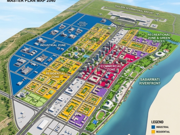
The introduction of the metro route introduces Transit-Oriented Development (TOD) zoning rules in Dholera SIR. TOD is designed to encourage high-density mixed-use developments near metro stations.
Key TOD Benefits for Land Owners:
- FSI Bonus: Plots located within 500 meters of any designated Dholera metro station are eligible for an increased Floor Space Index (FSI) of up to 3.0 to 4.0 (compared to the standard 1.6 – 2.0).
- Commercial Conversion: Residential plots within the TOD influence zone can be converted to mixed-use or commercial developments with fewer zoning restrictions.
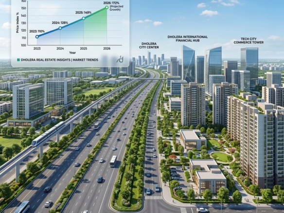
- Appreciation Premium: Plots situated within walking distance of the TP1 and TP2 metro stations are experiencing a 25% premium in valuation compared to outer-lying sectors.
FAQ Accordion
What is the ticket price for the Ahmedabad-Dholera metro?
The final ticket price list has not been announced by the GMRC. However, it is expected to follow a distance-based smart card fare structure, similar to the Ahmedabad Metro, with subsidized daily commuter passes for industrial workers in Dholera SIR.
When will the metro line start operations?
The metro project is divided into phases. The first operational segment, connecting the Dholera International Airport terminal to the ABCD Command Center in TP1, is targeted for test runs in late 2026, aligning with the airport opening. The full 92 km corridor to Ahmedabad is projected to be fully operational by 2028.
How does the metro route run alongside the expressway?
The metro line is elevated and runs inside the center median or along the right-of-way corridor of the Ahmedabad-Dholera Expressway. This minimizes land acquisition hurdles and ensures speed optimization up to 120 km/h.
Local Authority References & Resources
- Official Project Authority: Gujarat Metro Rail Corporation (GMRC)
- Transit Layout Plan: DICDL Infrastructure Corridor Map
- For plots near Dholera metro stations: Visit the Dholera Acres Property Hub
Download Dholera SIR 2026 Investor’s Kit
Get instant access to the official planning documents: Dholera Investment Handbook (PDF), 2026 Land Price List, TP Zone & Village Map, and the NRI Buying Guide.

Join The Discussion