

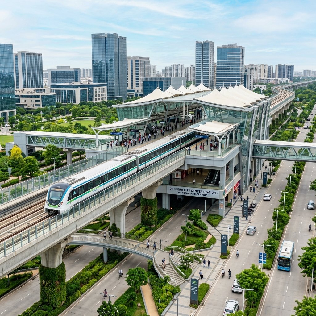
Connectivity is the primary engine of real estate valuation, and no infrastructure project will transform daily commuting between Gujarat’s financial capital and India’s first smart city more profoundly than the Ahmedabad-Dholera Mass Rapid Transit System (MRTS / RRTS).
Designed as a high-speed regional rail corridor operating parallel to the 109 km access-controlled Ahmedabad-Dholera Expressway, the Dholera Metro line is engineered to slash travel time between central Ahmedabad and the Dholera Activation Area to under 50 minutes.
With civil right-of-way (ROW) reservations integrated into the master expressway embankment and initial tenders advancing under the Gujarat Metro Rail Corporation (GMRC) and the National Industrial Corridor Development Corporation (NICDC), property investors are aggressively positioning capital along planned transit nodes.
This detailed 2026 update outlines the sanctioned metro route alignment, confirmed station locations, Transit-Oriented Development (TOD) zoning rules under DSIRDA GDCR 2023, and projected plot appreciation across adjacent sectors.
> [!IMPORTANT] > Transit Corridor Land Valuation Advisory: Property values in sectors adjacent to proposed metro stations fluctuate based on distance to the transit node, road width access, and zoning allowances. Price estimates outlined in this report reflect 2026 prevailing private market benchmarks. Land transactions cannot be registered below the notified Gujarat Revenue Department Jantri circle rate for the corresponding revenue survey number. For broader town planning valuation models, inspect our Dholera Plot Price 2026 Zone-Wise Analysis.
Ahmedabad-Dholera Metro: Key Project Specifications
The Ahmedabad-Dholera rapid rail corridor bridges urban corporate centers with Dholera’s industrial and aviation hubs:
| Parameter | Official Engineering & Route Specifications |
|---|---|
| **Total Route Length** | **~100 Kilometers** |
| **Operational Agency** | Gujarat Metro Rail Corporation (GMRC) / NICDC Joint Venture |
| **Corridor Alignment** | Parallel to 109 km Ahmedabad-Dholera Expressway (NH-47 corridor) |
| **Design Speed** | **160 km/h** (Operational speed: 120–130 km/h) |
| **Projected Commute Time** | **45 to 50 Minutes** (Terminal to Terminal) |
| **Track Gauge & Traction** | Standard Gauge (1435 mm), 25 kV AC Overhead Catenary (OHE) |
| **Transit Model** | High-Speed Regional Rapid Transit System (RRTS / MRTS) |
| **Transit-Oriented Development (TOD)** | High-density mixed-use zoning with **FSI up to 4.0 – 5.0** within 1 km radius |
Route Alignment & List of Planned Metro Stations
The rapid rail alignment originates in southern Ahmedabad and traverses the industrial heartland before terminating at the Dholera International Airport:
“` Ahmedabad (APMC / Sarkhej) │ ▼ Sanand Cross Road Interchange │ ▼ Bavla Industrial Station │ ▼ Dholka Heritage & Industrial Junction │ ▼ Dholera SIR Gateway (Pipali) │ ▼ Dholera TP-1 (Activation Core & Tata Fab Station) │ ▼ Dholera TP-2 (Navagam / Residential Smart City Station) │ ▼ Dholera International Airport (Terminal Station) “`
Detailed Station Profiles
- Station 1: APMC / Sarkhej (Ahmedabad Terminal) — Serves as the primary multimodal interchange connecting to Ahmedabad Metro Phase 1 and 2, allowing passengers from GIFT City and Gandhinagar seamless single-ticket transit.
- Station 2: Sanand Cross Road — Connects the automotive and electronics manufacturing workforce commuting between Sanand GIDC and southern industrial zones.
- Station 3: Bavla Station — Serves the agricultural machinery and logistics warehousing clusters of Bavla.
- Station 4: Dholka Station — Anchors pharmaceutical and chemical manufacturing hubs along the corridor.
- Station 5: Pipali (Dholera SIR Gateway) — The northern threshold of Dholera SIR, capturing traffic entering the 920 sq. km special investment region.
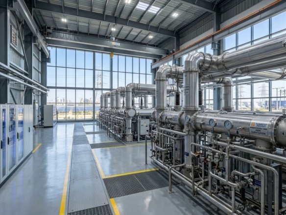
- Station 6: Dholera TP-1 (Activation Core & ABCD Building) — Positioned at the heart of the 22.5 sq. km Activation Area, directly serving the Tata Semiconductor Fab, Torrent Power substation, and administrative headquarters.
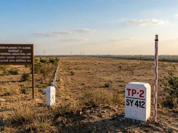
- Station 7: Dholera TP-2 (Smart City Residential Center) — The central residential stop catering to universities, multi-specialty hospitals, and high-density residential neighborhoods.
- Station 8: Dholera International Airport (Navagam) — Integrated into the passenger terminal building of Dholera Airport, facilitating direct high-speed transfers for domestic and global travelers.
View exact station coordinates and Town Planning sector boundaries on our Dholera SIR Boundary Map & Master Layout Guide.
Transit-Oriented Development (TOD) & FSI Impact
Under the DSIRDA Comprehensive General Development Control Regulations (GDCR) 2023, land parcels situated within the Transit-Oriented Development (TOD) corridor enjoy enhanced development density:
“`mermaid flowchart LR subgraph Station[“Metro Station Node (0 – 500m)”] A1[“High-Density Commercial & Retail”] A2[“Base FSI: 2.5 + Chargeable FSI up to 5.0”] A3[“Maximum Building Height: 70m – 100m+”] end subgraph Influence[“TOD Influence Belt (500m – 1,500m)”] B1[“Medium-to-High Density Residential”] B2[“Base FSI: 1.8 + Chargeable FSI up to 3.5”] B3[“Walkable Mixed-Use Communities”] end subgraph Outer[“Peripheral Catchment (1.5km – 3km)”] C1[“Plotted Residential Communities”] C2[“Standard FSI: 1.5”] C3[“Feeder Electric Bus Connectivity”] end “`
- 500m Metro Core: DSIRDA permits high-density commercial towers, corporate headquarters, and retail complexes with purchasable FSI scaling up to 5.0, generating significant land value premiums.
- 500m to 1,500m Influence Belt: Earmarked for mid-to-high rise residential apartments and mixed-use communities, ensuring high walkability and transit utilization.
- Sub-Arterial Feeder Corridors: Automated electric feeder buses and cycle highways connect surrounding residential plots in TP-1 and TP-2 to the stations within 5 to 7 minutes.
Station Proximity Plot Price Impact Matrix (2026 vs Projected 2029)
Proximity to rapid transit stations creates a well-documented premium gradient in smart city land valuations:
| Distance from Planned Metro Station | Prevailing 2026 Price Band (₹ / Sq. Yd.)* | Projected 2029 Price Band (Operational Phase) | Projected Capital ROI | Dominant Land Use |
|---|---|---|---|---|
| **Walking Radius (0 to 500 Meters)** | ₹8,500 – ₹16,000 | ₹22,000 – ₹38,000 | **140% – 160%** | Commercial towers, retail malls, hotels |
| **Immediate Catchment (500m to 1.5 km)** | ₹5,500 – ₹9,200 | ₹14,000 – ₹22,000 | **120% – 140%** | High-density residential, studio apartments |
| **Secondary Catchment (1.5 km to 3 km)** | ₹4,200 – ₹6,800 | ₹9,500 – ₹15,000 | **100% – 120%** | Gated residential plotted developments |
| **Outer Sector Buffer (3 km to 6 km)** | ₹2,800 – ₹4,500 | ₹5,500 – ₹8,500 | **80% – 95%** | Plotted villa layouts, institutional campuses |
Disclaimer: Plot rates in Dholera SIR vary dynamically based on final town planning (TP) sanction stage, road width access, boundary demarcation status, and zoning category. Transaction values cannot fall below the notified Gujarat Revenue Department Jantri circle rate for the corresponding revenue survey number.
Strategic Investor Takeaway: How to Capitalize on the Metro
“` 1. Target Plots in TP-1 & TP-2 within 1.5 km of the Stations: Parcels in Navagam, Sangasar, and Kadipur offer immediate access to planned stops while maintaining entry costs between ₹4,800 and ₹7,500 per sq. yard.
- Verify Final Plot (FP) Road Widths:
- Ride the Multi-Modal Infrastructure Wave:
To view verified residential and commercial plots within the metro influence zone, browse our Dholera Plot Listings & Verified Land Assets.
Frequently Asked Questions (FAQs)
What is the planned travel time between Ahmedabad and Dholera on the metro?
The high-speed Ahmedabad-Dholera MRTS/RRTS corridor is designed for operating speeds of 120 to 130 km/h (design speed of 160 km/h), cutting transit time between Ahmedabad (APMC/Sarkhej) and the Dholera Activation Area to approximately 45 to 50 minutes.Where are the Dholera SIR metro stations located?
Within Dholera SIR, the planned stations include Pipali (SIR Entry Gateway), TP-1 (Activation Core & Tata Fab Station), TP-2 (Navagam / Residential Core), and the terminal station at Dholera International Airport.What is Transit-Oriented Development (TOD) in Dholera SIR?
Under DSIRDA GDCR 2023, Transit-Oriented Development (TOD) designates high-density zones within 500m to 1km of metro stations where developers can build high-rise commercial and residential towers with permissible FSI scaling up to 4.0 to 5.0.How does metro connectivity affect plot prices in Dholera?
Historically, transit corridors in greenfield smart cities generate land value appreciation of 100% to 150% between route sanction and operational commissioning, with plots within 1.5 km of stations commanding the highest rental and capital premiums.Is the Dholera Metro route aligned with the Ahmedabad-Dholera Expressway?
Yes. The rapid transit rail line is engineered to run parallel to the 109 km Ahmedabad-Dholera Expressway corridor, sharing a dedicated right-of-way (ROW) that connects Ahmedabad directly to Dholera SIR and the international airport.Download Dholera SIR 2026 Investor’s Kit
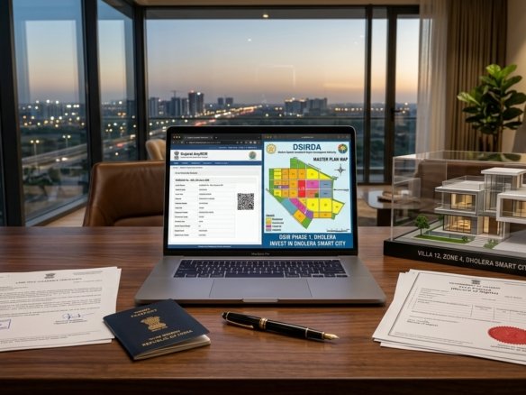
Get instant access to the official planning documents: Dholera Investment Handbook (PDF), 2026 Land Price List, TP Zone & Village Map, and the NRI Buying Guide.

Join The Discussion